Digital Terrain Intelligence
Modernize the digital terrain intelligence capability of U.S. and Allied missions to execute force protection and counter-targeting with a commercial global location data platform.
The Problem
Satellites, cameras, and sensors show what a place looks like, but they miss much of what’s actually happening there. Examples include a ship that switches off its tracking transponder, a site where activity quietly surges, or repeated visits to the same perimeter. Analysts are left with snapshots and gaps, often in places where they can’t put sensors or people at all.
Force protection and counter-targeting depend on commercial location data the Department of War cannot collect itself. USD(I&S), CDAO and the COCOMs need a ready PAI/CAI feed their analysts can query.
How Reveal Solves It
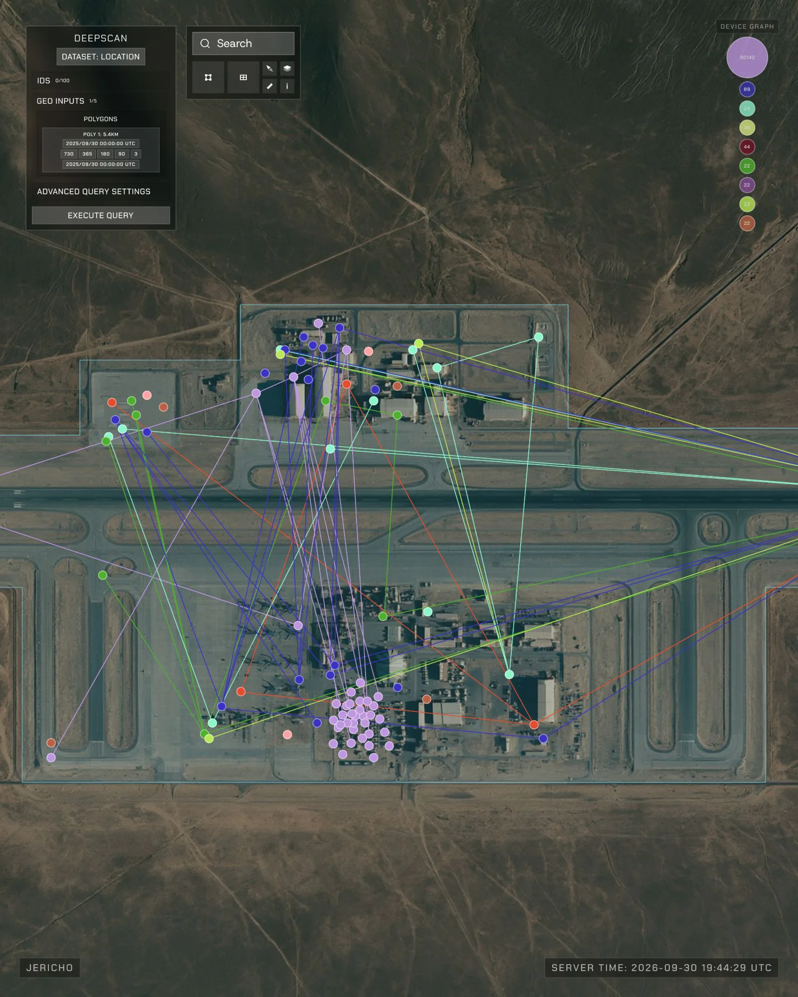
Anomaly Six (A6) gives analysts global, commercially sourced location data on devices, ships, and aircraft, with years of history. This lets them see patterns of life and changes in activity without being physically present. Paired with Farsight’s 3D terrain and live-video overlay, A6 ties this activity to real places. Analysts can then understand what is moving where and why it matters.