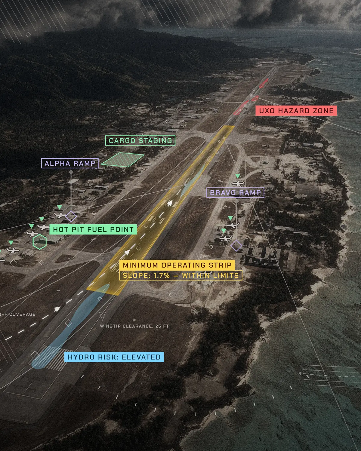
Expeditionary Mobile Ops
Modernize how the Air Force and Navy plan and run their airfields and flight lines.
The Problem
Airfield planners still depend on a static, manual, AutoCAD-based tool that cannot enforce safety constraints or keep pace with a changing force flow.
The Air Force and Navy need a faster way to plan airfield throughput.
How Reveal Solves It
The Farsight platform enables airfield planners to determine usable capacity and coordinate activity as conditions change. The platform creates a 3D digital twin and planning view of the airfield, with aircraft drawn at true scale, surface constraints, and the clearance rules that govern them. Planners can lay out parking and taxi routes, test changes as the mission shifts, and share the plan in standard formats across mobile devices and command centers in real time.