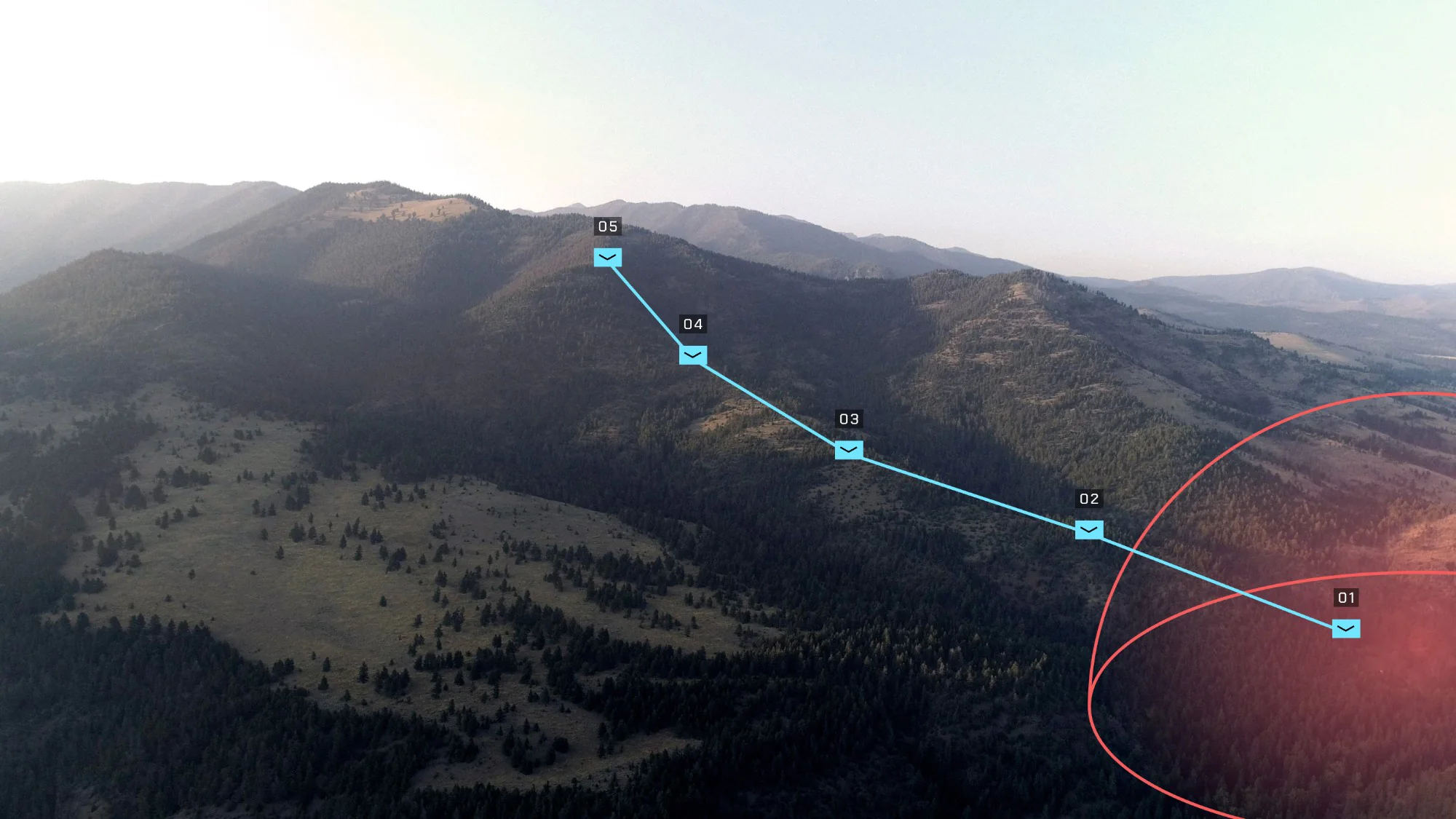
Aerial view of forested mountains with a five-waypoint Farsight route and a red range ring

Farsight

Farsight

Farsight

Terrain Intelligence at the Edge

TRL 9

Operational Today

EDGE

performance proven in 20+ countries

NETWORKED

Integrated with NGC2 and ATAK

Farsight® is a 3D mapping and terrain intelligence platform that empowers frontline units to plan, rehearse, and execute missions at the tactical edge.

Farsight® is a 3D mapping and terrain intelligence platform that empowers frontline units to plan, rehearse, and execute missions at the tactical edge.

Farsight® is a 3D mapping and terrain intelligence platform that empowers frontline units to plan, rehearse, and execute missions at the tactical edge.

Understand the terrain. Decide without waiting.

The warfare interface is changing. Frontline units need terrain understanding to execute multiple missions across one-way attack, C-UAS, Electronic Warfare, Fires, and GPS-denied navigation but often rely on outdated, fragmented situational-awareness tools that require connectivity and cloud processing.

Farsight solves this by combining 3D terrain data, sensor-collected imagery, AI, and edge processing so that Airmen, Marines, Sailors, Guardians, and Soldiers understand the operating environment and make timely decisions.

Rather than a point solution bolted onto one part of the kill chain, Farsight offers one platform that serves many mission threads and works on any interface hardware. So whether the interface that day is a mobile device, a laptop, an XR headset, a rifle sight, or all four, Farsight enables operators to plan, understand, and exploit in denied, degraded, and disconnected environments.
Plan

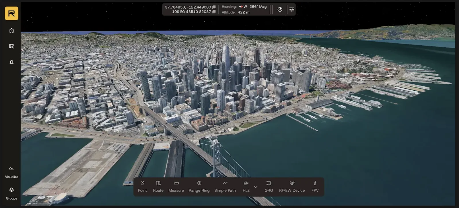
Farsight processes UAS data, live stream, and ground sensor imagery into a maneuver-quality 3D model in as little as two minutes and fuses it with satellite data into a persistent Global World Model.

Understand

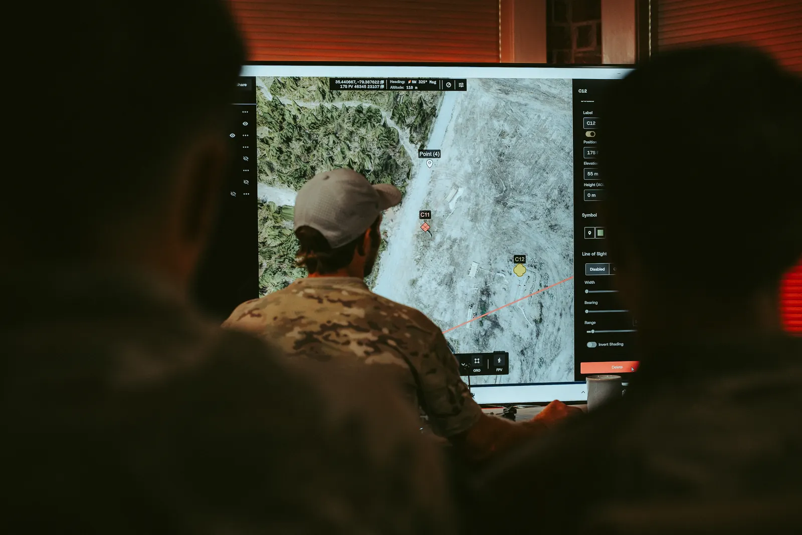
Users have access to line-of-sight analysis, AI route planning, HLZ/LZ/DZ surveying, terrain measurement, key terrain analysis, RF/EW propagation modeling, and other tools directly on the model.
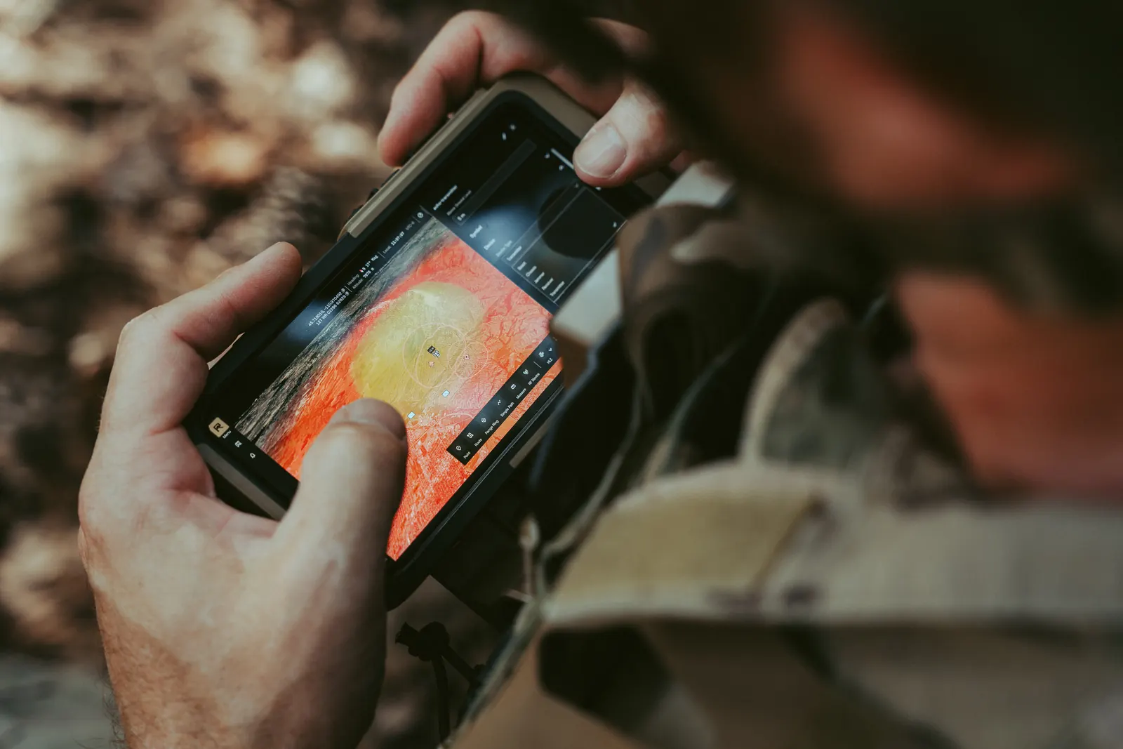
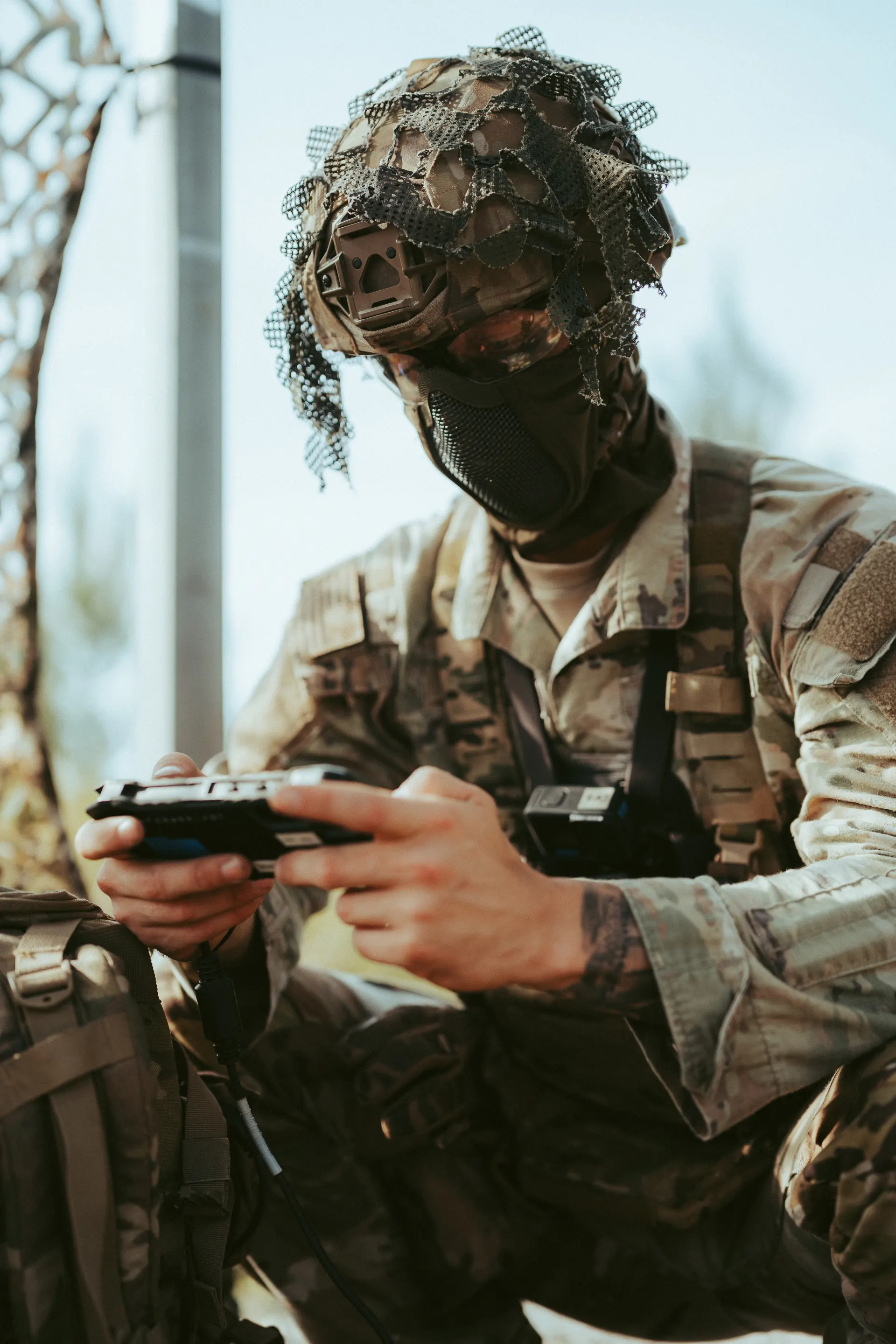
Operator in camouflage and a netted helmet using a handheld controller in the field

Exploit

Operators can push validated models up and out over TAK, ATAK, and NGC2 / C2 Transport, so the same model used to plan a mission is the model used to execute it.

“Massively reduces Risk to Mission”
U.S. Air Force Flight Lead
“Massively reduces Risk to Mission”
U.S. Air Force Flight Lead

Capabilities

3D Common Operating Picture with Edge 3D Mapping
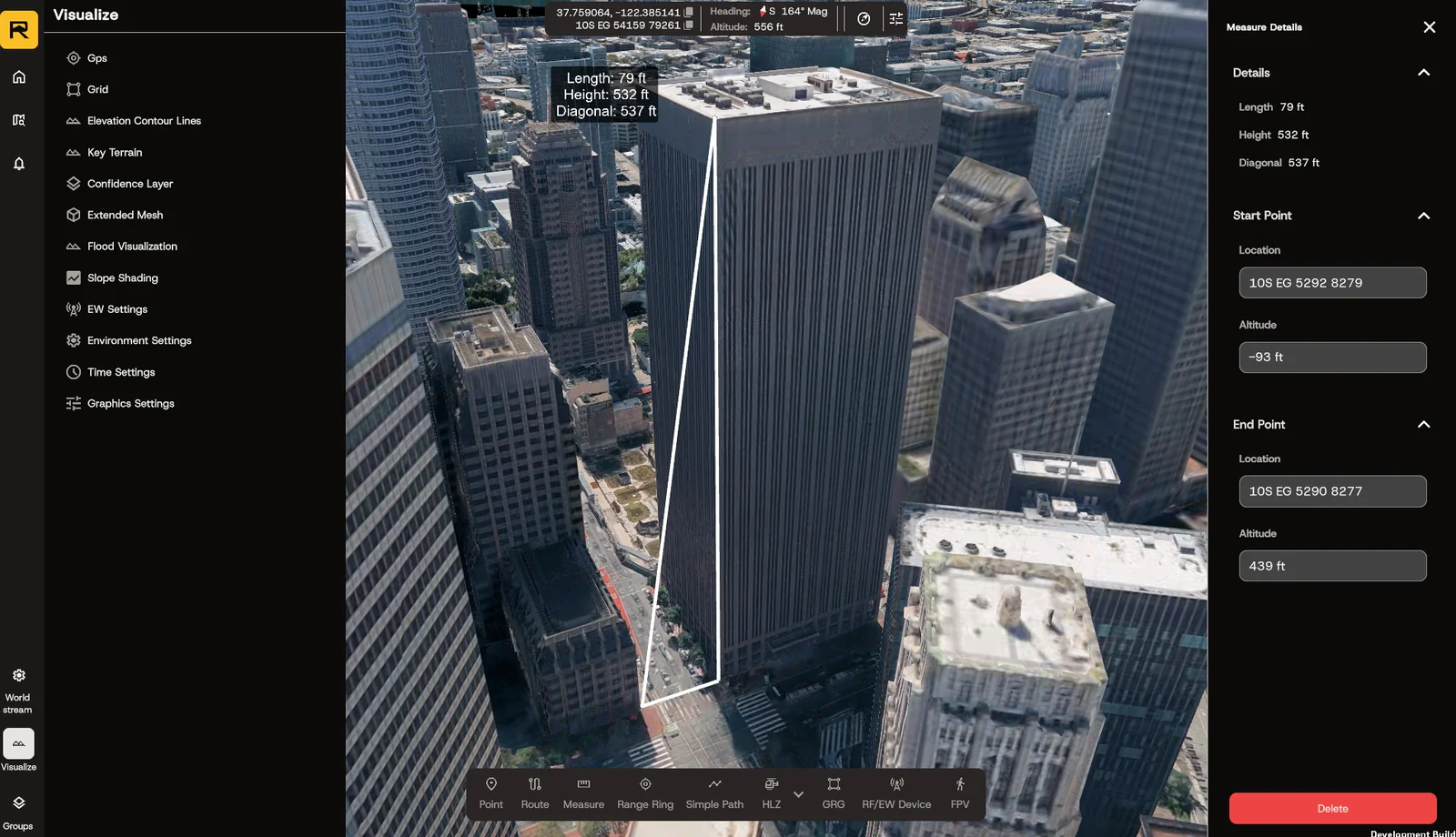
Geospatial Analysis Tools: HLZ/Slope/Measuring/LoS
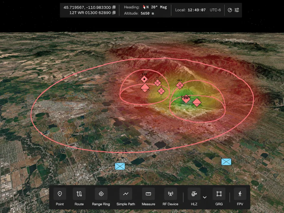
Farsight RF propagation heat map with range rings and EW devices over terrain

RF Propagation Modeling (Farsight Echo extension)
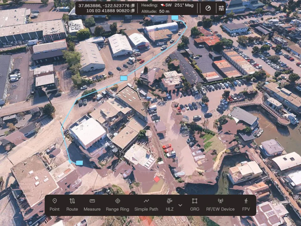
Farsight 3D map with a planned route drawn through a waterfront neighborhood

Autonomy C2: Route Planning, Sending Tracks

Configurations
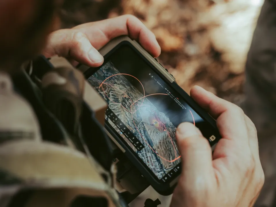
Operator holding a rugged handheld running Farsight with range rings over terrain

Mobile

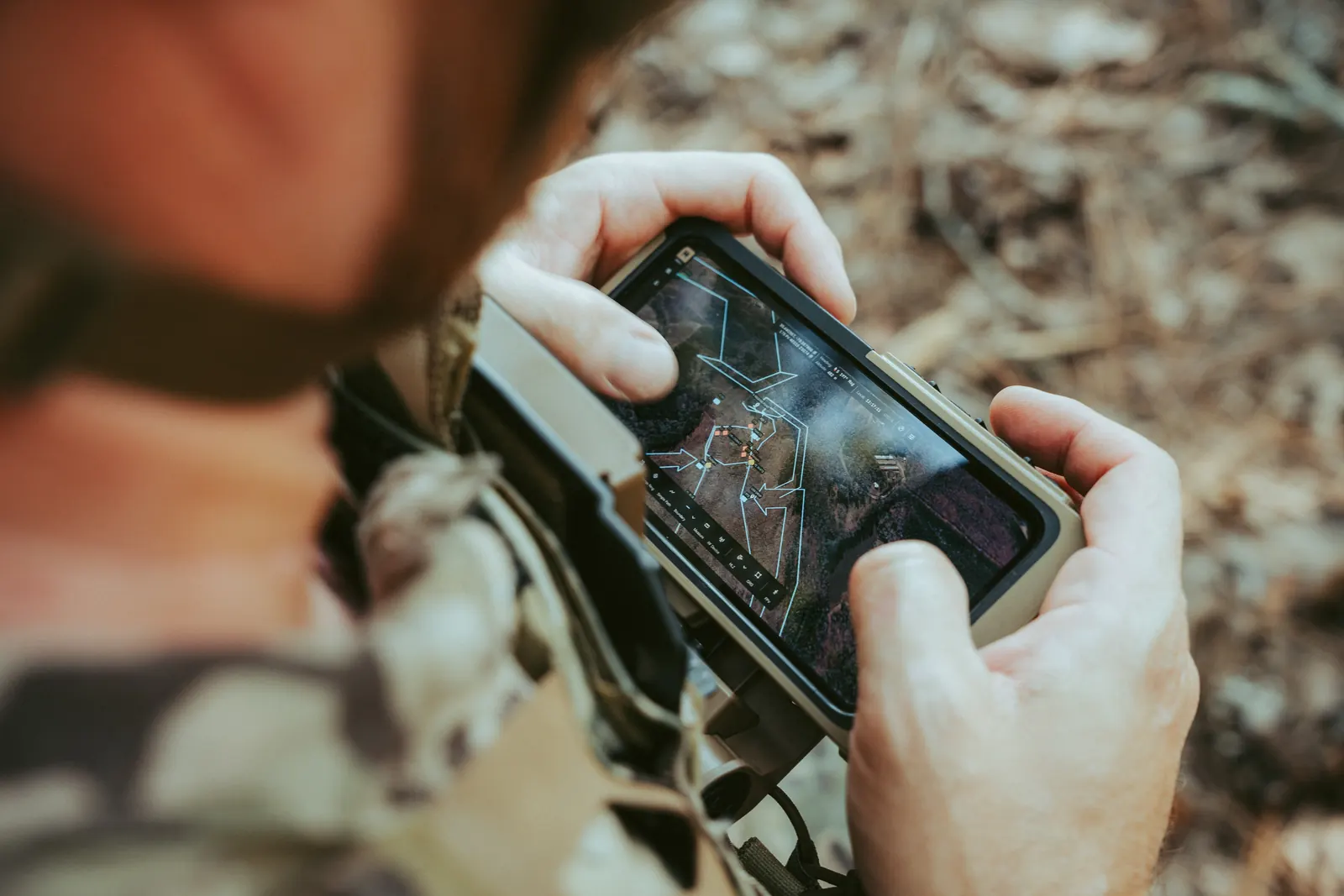
Farsight Mobile puts full Farsight capability directly at the tactical edge instead of just streaming ISR data. Running on smartphones and tablets, it gives frontline squads immediate, embedded ISR capabilities.
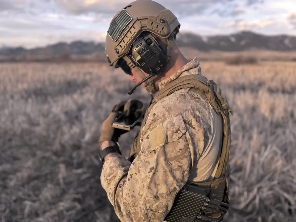
Marine in a helmet and headset checking a handheld device in a frosted field

Edge

Farsight Edge is deployed onboard the sensor platform and pairs directly with Farsight Mobile. It operates without a network connection, drastically reducing its SIGINT signature

Node

Farsight Node is deployed at headquarters to provide wide-area, high-volume mapping across multiple UAS streams through TOC-based, enterprise-level compute power.
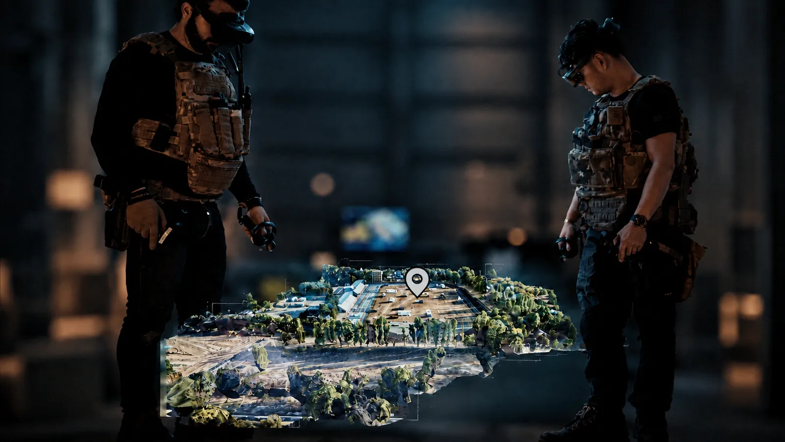
XR

Farsight XR brings data to life by integrating rapid 3D modeling and analytics into extended reality, where warfighters and mission planners can visualize, analyze, and interact with the battlespace, all from a secure environment.

FAQs

What is Farsight?

Farsight is a 3D mapping tool that generates a geospatially accurate model of a place at the edge from drone imagery, so users can measure, analyze line of sight and terrain, plan landing zones, and rehearse a mission on the device.
Does Farsight need a network or new hardware?

No. Farsight is edge-first. Models are generated and analysis runs on the device, maps can be cached ahead of a mission, and it runs on the mission-command hardware units carry, so there is no new hardware to buy.

Does Farsight need a network, or new hardware?

No. Farsight is edge-first. Models are generated and analysis runs on the device, maps can be cached ahead of a mission, and it runs on the mission-command hardware units carry, so there is no new hardware to buy.

Does Farsight need a network, or new hardware?

No. Farsight is edge-first. Models are generated and analysis runs on the device, maps can be cached ahead of a mission, and it runs on the mission-command hardware units carry, so there is no new hardware to buy.

What is Echo?

Echo is a Farsight extension that models radio-frequency and spectrum coverage as 3D lobes over real terrain, computed offline at the edge (Technology Readiness Level 8).

What is Echo?

Echo is a Farsight extension that models radio-frequency and spectrum coverage as 3D lobes over real terrain, computed offline at the edge (Technology Readiness Level 8). Worldstream is Farsight’s integration layer, connecting partner sensors, drones, autonomy systems, and command-and-control through open interfaces.

What is Echo?

Echo is a Farsight extension that models radio-frequency and spectrum coverage as 3D lobes over real terrain, computed offline at the edge (Technology Readiness Level 8). Worldstream is Farsight’s integration layer, connecting partner sensors, drones, autonomy systems, and command-and-control through open interfaces.

Is Farsight fielded?

Yes. Farsight Core is at Technology Readiness Level 9, is being actively fielded by U.S. Army PEO Soldier in FY2026, operates at Department of War Impact Level 4 with active Authorities to Operate, and is in use with U.S. forces and more than 20+ partner nations.

Is Farsight fielded?

Yes. Farsight Core is at Technology Readiness Level 9 and in active fielding by U.S. Army PEO Soldier in FY2026, operates at Department of War Impact Level 4 with active Authorities to Operate, and is in use across U.S. forces and more than twenty partner nations.

Is Farsight fielded?

Yes. Farsight Core is at Technology Readiness Level 9 and in active fielding by U.S. Army PEO Soldier in FY2026, operates at Department of War Impact Level 4 with active Authorities to Operate, and is in use across U.S. forces and more than twenty partner nations.

Book a demo

See it in action, live, with the team who built it.