Edge Mission Command
Mission planning and execution together in one platform, purpose-built to serve mission objectives in contested and disconnected environments.
The Problem
Military units already have capable drones, sensors, and command systems, but those systems rarely work together. Planners have to piece together terrain, sensor coverage, and radio reach across disconnected tools, often with little or no network connection at the front line. The lack of an Edge Mission Command platform results in slower planning, blind spots nobody sees until the mission is underway, and decisions made on incomplete information.
How Reveal Solves It
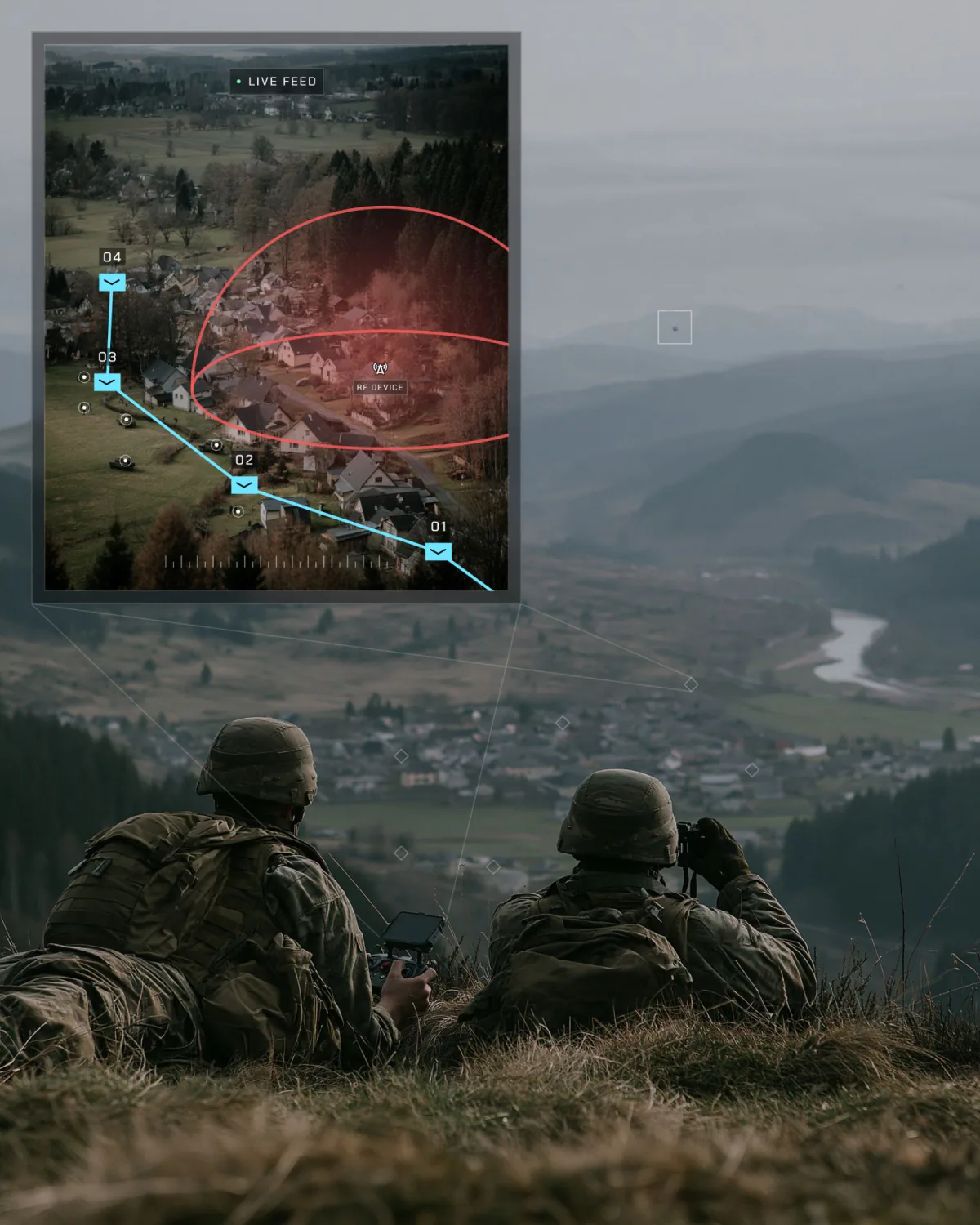
Reveal’s Farsight platform builds mission-ready 3D maps directly on tactical devices from satellite and drone imagery. It puts terrain analysis, route planning, and sensor and communications coverage in a single planning environment. Its Echo extension shows how terrain affects EMS signals, so teams can spot coverage gaps before they deploy. Farsight runs fully offline on hardware units already carried and shares results with tactical systems like ATAK (the Android Tactical Assault Kit) through standard formats.